
Industries
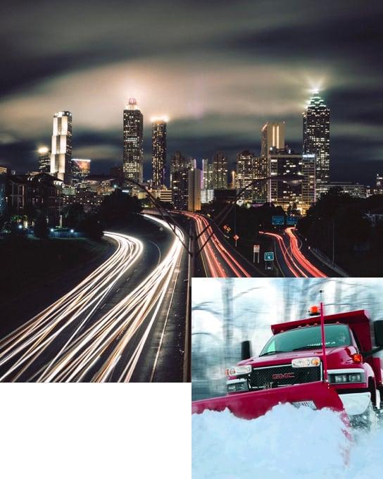
Public Works -
Smart City
Add your maps and connect your IoT to improve business processes
Custom maps
Integrate your geographic information GIS to create and display personalized maps
Connect your sensors
Connect your real-time IoT and sensors and use data for better decisions
Enable automatization
Integrate your business rules to enable automatization and improve the lives of citizens
Rasters.io provides a easiest way to collect, display and manage your geographic information

Agriculture
Simplify precision farming
Add your drone mapping and combine your sensors data to enable real-time analysis and optimize your investment
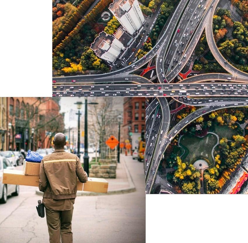
Transport and logistics -
Improved supply chain
Rasters.io provides tools to easily integrate and manage your fleet
Display the GPS position, add your IoT and activate the real-time rule based engine to always be on track
The enterprise asset Intelligence enables your organization to pinpoint inefficiencies in real time, improving throughput and helping to move toward innovation
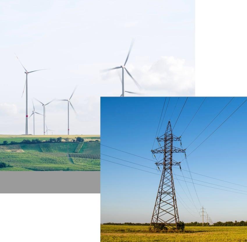
Utilities -
Connected to the world
Map and monitor your infrastructures
Rasters.io provides solutions to improve collaboration, coordination and response time by displaying a consolidated picture of your assets status.
Display real-time view of alerts, weather, incidents, disasters and other informations